October 31, 2010 | Read Time: 1 minute
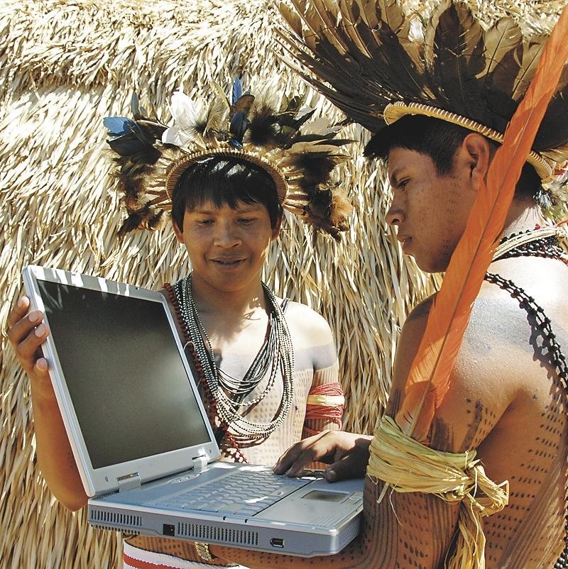
Twenty-first century technology has become an important tool in indigenous groups’ fight to protect their ancestral lands in the Amazon.
The Amazon Conservation Team, in Arlington, Va., has provided equipment and training to 32 Indian groups in Brazil, Colombia, and Suriname to help them map their traditional territory. The groups use handheld GPS devices to document place names, how they use the land, and areas of significant biodiversity.
Indigenous groups are then able to use the maps as they negotiate land-management agreements with government agencies. They also help groups take steps on their own to protect the land.
Members of the Trio tribe in Suriname were having trouble with gold miners entering their territory illegally but didn’t know where the miners were getting in, says Mark J. Plotkin, the president of Amazon Conservation Team.
“But by making the map,” he says, “they found a place where the gold miners had cut a path through the forest where they could get around the rapids, and they closed it off.”
For more information: Go to http://www.amazonteam.org.